
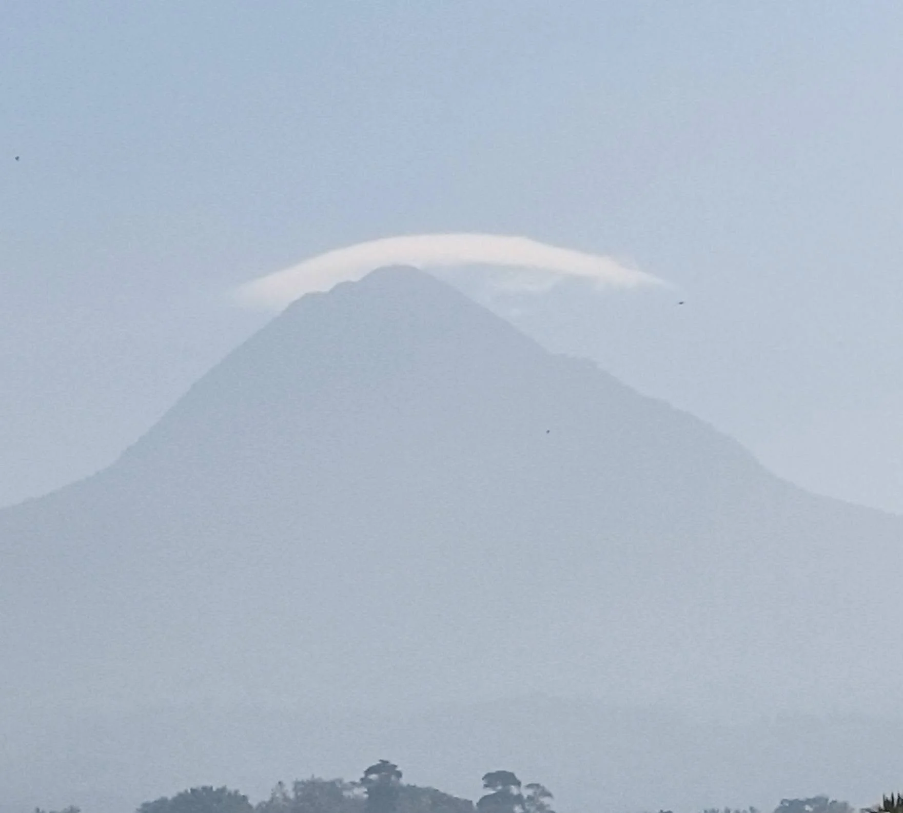
Ultimate Guide to Climbing Matutum Volcano: Trails, Permits, and Logistics
Indigenous Land Respect & the Blaan Community
Mount Matutum is a deeply sacred landmark to the indigenous Blaan people. Visitors are required to hire accredited local guides from the community to foster ecological protection and respect cultural customs. Hikers are also encouraged to participate in local conservation efforts, such as the Amyak Maleh tree-planting initiative.
Water Sources & Hydration Strategy
Location of Water RefillsManaging your hydration is critical during any Mount Matutum hike guide strategy. The only reliable water source along the main Sitio Glandang route is located at Camp 1 / Phase 1. Beyond this landmark, natural water sources are non-existent along the upper trail.
Filtration & Purification Advice
Always carry a reliable water filter or chemical purification tablets to process stream water at Camp 1. Treat enough water to sustain your final steep push to the summit rim and back down to the lower slopes.
Trail Breakdown & Technical Sections
Elevation Gain & Mount Matutum Trail DifficultyEvaluating the Mount Matutum trail difficulty is essential for proper physical preparation. The trail begins at the Sitio Glandang jump-off point at approximately 1,020 meters MASL and rises steeply to the summit rim at 2,286 meters MASL. This involves a continuous elevation gain of over 1,200 meters across demanding terrain.
Terrain Specifics During Your Matutum Volcano Trek
A typical Matutum volcano trek takes hikers through lush agricultural lands, dense pine forests, and steep mossy jungle zones. Expect technical root climbs, loose volcanic soil, deep mud patches during heavy rainfall, and narrow paths along the forested crater rim.
Day Hike vs. Overnight Camping
Day Hike Itinerary
A day hike requires an early start around 3:00 AM–4:00 AM from the trailhead. Moving early helps trekkers beat the oppressive midday heat and avoid unpredictable late-afternoon downpours on the upper slopes.
Overnight Option
If you prefer an overnight climb, designated camping zones are available near the base camp areas. Temperatures drop significantly at higher elevations, so bring warm clothing layers, an insulated sleeping mat, and a windproof tent shelter.
Side-by-Side Comparison: Mt. Matutum vs. Mt. Cabalian
Terrain & Scenery
Mount Matutum features high-altitude forest ecosystems, technical root scrambles, and panoramic vistas overlooking pineapple plantations in South Cotabato. In contrast, Mt. Cabalian in Southern Leyte offers a secluded crater environment centered around the pristine Lake Danao and surrounding geothermal hot springs.
Difficulty & Travel Flow
Matutum demands high physical endurance due to its relentless 1,300-meter elevation gain and technical forest climbs. Mt. Cabalian provides a moderate, shorter trail that is ideal for hikers seeking a balanced trek to a crater lake.
Travel Logistics & Connecting Routes
Door-to-Trailhead DirectionsTo reach the jump-off point, fly into General Santos International Airport (GES). Take a public bus or van bound for Tupi, South Cotabato. From the Tupi town center, hire a local habal-habal (motorcycle) to transport you directly to the trailhead at Sitio Glandang.
Post-Hike Recovery
After completing your descent, unwind at nearby local attractions in Tupi, such as strawberry farms and natural cold springs. Alternatively, extend your itinerary to explore the cultural sights and waterfalls around Lake Sebu.
Why Plan Your Next Volcano Trek with Mt Cabalian Lake Danao Guide?
Trusted Regional Resources & Route Planning
Mt Cabalian Lake Danao Guide serves as your trusted regional resource for off-the-beaten-path adventures across Mindanao and the Visayas. Access verified trail updates, custom multi-island itineraries, and direct connections to licensed local guides.